
Getting Around North Baltimore, MD: Transit, Driving, and Which Homes Fit a Car-Light Life
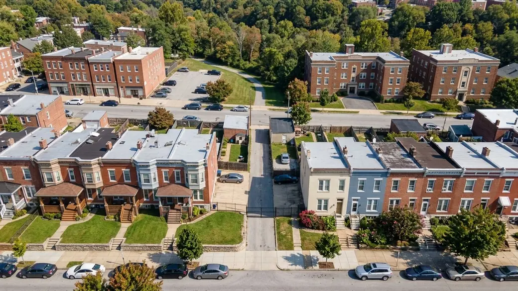
The median home price across Northern Baltimore is roughly $308,414, but that number covers two very different lifestyles.
Key Takeaway
If you want to drive less, start with North Baltimore's rowhouse and condo blocks along Charles Street, York Road, and the Light Rail line. Buses, rail, and errands are closer there, and those home types give buyers the most negotiating room. If you need a driveway and space for two cars, look at detached-house areas such as Roland Park and Homeland instead, but expect competition: 31.3% of single-family homes sold above list in the 90 days ending September 30, 2026.
Who This Guide Is For
You are deciding where in North Baltimore to buy and want to know how much of daily life will need a car before you commit to a home type and a street.
How Transportation Shapes Your Home Search
In North Baltimore, deciding how you'll get around is essentially deciding which home type you buy. The townhouses and condos that suit a car-light life are where buyers have negotiating room. Townhouses carry 5.5 months of supply at $176 per square foot, so you can compare several before choosing. Condos sit a median 49 days and sell at 98% of list, which leaves time to bargain. The detached houses that best fit a two-car household are the tightest segment, at 2.5 months of supply and 100.5% of list (Redfin, 90 days ending September 30, 2026). A buyer who needs off-street parking should plan to pay full price or more. The pros and cons of living in North Baltimore, MD clarify which compromises make sense.
Townhouses: The Most Supply and the Most Space per Dollar
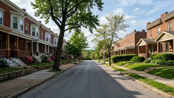
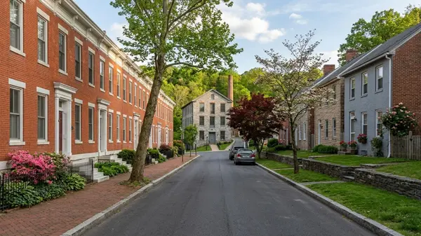
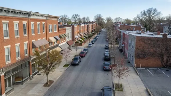
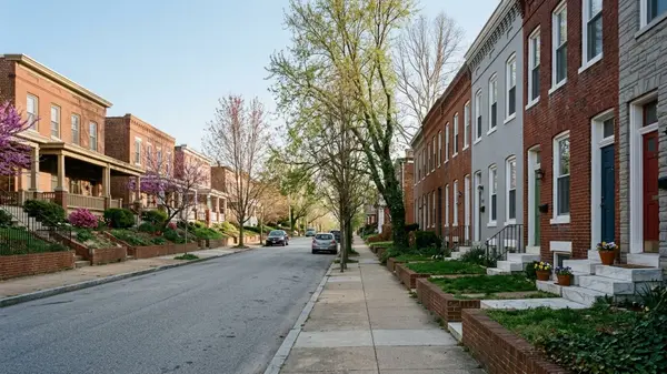
With so many townhouses for sale, you can ask for repairs or credits and walk away if something doesn't feel right. Many rowhouse blocks sit directly on the CityLink Red, Green, and Silver bus corridors. The downside is that many rowhouses have no off-street parking, so a second car may mean hunting for a street space or paying for a residential permit.
Condos: The Longest Time on Market
Use the extra time to read HOA documents carefully. You give up control over the exterior and parking arrangements, and dues and parking rules vary by building. Ask the HOA for current monthly dues, what they cover, and whether parking is deeded, assigned, or first-come.
Detached Houses: The Tightest Part of the Market
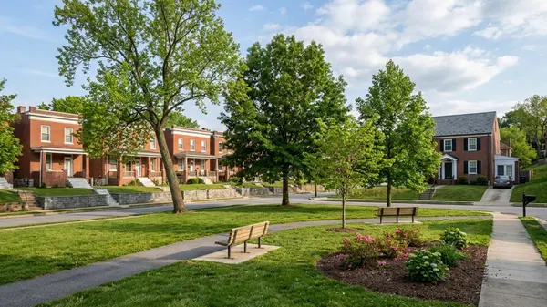
Detached homes give you the driveway and garage a multi-car routine needs. You pay for the parking twice: once in the price and again in the competition. Many trips from these streets still start in the car.
A Price Comparison Between a Townhouse and a Detached House
The median detached house costs more than twice the median townhouse. A townhouse at the $255,000 median starts $277,412 below a detached house at $532,412. Medians blend very different streets and sizes, so the gap on the homes you compare may be much smaller or larger. Run a payment comparison with a lender before deciding whether that difference outweighs giving up a driveway.
Public Transportation Options in North Baltimore
The Maryland Transit Administration (MTA) runs the bus and rail network here.
MTA BaltimoreLink Buses
CityLink Red is the primary route serving the York Road and Greenmount Avenue corridor, running from the University of Maryland Transit Center to the Lutherville Light Rail Stop. The Charles Street corridor is served by CityLink Green, CityLink Silver, and LocalLink 51, which runs from Towson to the Inner Harbor. Frequency drops on evenings and weekends on some routes, so check the schedule for the hours you'd ride.
Light Rail on the Western Edge
The main north-south Light Rail line runs from the western side of North Baltimore to downtown and on to BWI Airport, stopping at Mount Washington, Cold Spring Lane, and Woodberry. The line hugs the Jones Falls valley, so neighborhoods east of Charles Street are a bus ride or drive from the nearest stop.
MARC and Amtrak at Penn Station
Penn Station sits at the southern edge of North Baltimore. MARC's Penn Line runs 77 miles between Washington Union Station and Perryville, and Amtrak Northeast Corridor trains also stop there. From most northern blocks, reaching the station takes a bus, a bike ride, or a drive, so check station parking costs before you count on it.
College Shuttles
Johns Hopkins, Loyola, and Notre Dame run shuttles along the Charles Street corridor. Most are limited to students and staff, so don't plan a commute on one unless the operator confirms you can ride.
Neighborhoods Where Errands Work Without a Car
Charles Village
Charles Village sits on the Charles Street and St. Paul Street bus corridor next to the Johns Hopkins Homewood campus, mostly rowhouses with some condo buildings. It has a Walk Score of 93 and a Transit Score of 58. Rowhouse blocks rarely have off-street parking, so check the permit rules under street parking below.
Hampden
Hampden puts shops and restaurants within reach along 36th Street, known locally as The Avenue, and has a Walk Score of 85. The Jones Falls Trail runs nearby, giving a bike route toward downtown. The Avenue draws visitors, so drive the block you're considering on a Saturday evening to judge parking demand.
Remington
Remington sits between Hampden and Charles Village, close to I-83 and Penn Station, with quick access to the main north-south corridors. Blocks near the expressway can carry traffic noise, so visit at rush hour before you make an offer.
Waverly
Waverly is largely rowhouses along the Greenmount Avenue and York Road corridor, where CityLink Red provides frequent service north toward Towson. Test the bus trip at your commute hour.
Mount Washington
Mount Washington has its own Light Rail stop, a small village center, a mix of home types, and a Transit Score of 54. The streets are hilly and I-83 cuts through the area. Walk the route from the home to the nearest stop before assuming it's an easy trip.
Neighborhoods Where Most Trips Start by Car
These areas are mostly detached homes, with shops and transit stops spread farther apart, so daily errands and commuting generally take a car.
Roland Park
Roland Park is mostly detached homes with driveways. The Stony Run trail is nearby, and the Cold Spring Lane Light Rail stop is on its western side. It has a Walk Score of 64 and a Transit Score of 42. From interior streets most errands mean a drive.
Homeland
Homeland offers detached homes north along Charles Street near Northern Parkway, with quick car access to the northern suburbs. Covenants or dues may apply to parking, additions, or exterior changes, so ask the community association.
Guilford
Guilford has detached homes on larger lots between Charles Street and Greenmount Avenue, with room for multiple vehicles. The bus corridors run along its edges, so interior streets are a walk from the nearest line. Time that walk from the specific home.
Driving and Parking in North Baltimore
Getting Downtown on I-83
The Jones Falls Expressway (I-83) is the fastest car route downtown, with Charles Street and St. Paul Street as the main surface alternatives. The expressway runs in a stream valley and can close for heavy rain or repair work, so know your backup surface route.
Reaching Towson and the Beltway
York Road and Charles Street run north into Baltimore County toward Towson and I-695. York Road carries heavy traffic and many signals.
Northern Parkway and Cold Spring Lane
Northern Parkway and Cold Spring Lane are the main east-west routes between neighborhoods. Crosstown trips are where transit is weakest, so an east-west commute usually still means a car.
Street Parking and Residential Permits
Under Baltimore City's Residential Parking Permit (RPP) program, a standard residential decal or virtual permit costs $20 per year, and visitor permits are also $20 per year. Area 4 permits cost $10, and Area B permits are issued at no charge. Permits don't guarantee a space in front of your home. Check whether the address is in a permit area and how many permits a household can hold.
Rideshare and Taxis
Rideshare covers the gaps transit leaves, such as late nights and crosstown trips. Wait times and prices vary by hour and location, so open the apps from the address at your usual times.
Biking and Walking in North Baltimore
Jones Falls Trail
The Jones Falls Trail is a 10-mile hiking and biking path through the Jones Falls Valley near North Baltimore, running past Falls Road and around Druid Hill Park, including the bike path around Druid Hill Reservoir. Gaps and on-street segments exist, so map the whole route rather than just the trail portion.
Bike Lanes on Maryland Avenue and Other Streets
The Downtown Bike Network includes two-way separated bike lanes on Maryland Avenue and Cathedral Street, plus Centre and Monument Streets, connecting the Charles Village area toward downtown. The network is patchy north of the core, so check the city bike map against your trip.
Scooters and E-Bikes
The city's permanent Dockless Vehicle for Hire Program permits scooter and e-bike vendors. These work for short trips or the last stretch from a transit stop. Operators and service areas change, so check the apps from your address.
Walking to Daily Errands
Walkable shopping concentrates on The Avenue, the Charles Village corridor, and the Waverly corridor. A high Walk Score can hide a long walk to a full grocery store. Find the nearest full grocery store and pharmacy from the exact address, then walk it once, since hills and winter change how a map distance feels.
Senior and Accessible Transportation
MTA Mobility Paratransit
MDOT MTA's MobilityLink paratransit program is an ADA-compliant system for people who cannot use fixed-route services due to a disability. It provides origin-to-destination shared-ride service with a one-way fare of $2.10 for eligible riders. Eligibility requires an application and assessment, and rides must be booked ahead.
Reduced Fares and Senior Ride Programs
MTA's People with Disabilities and Seniors Fare Program offers reduced fares on Local Bus, Metro Subway, and Light Rail to seniors aged 65 and older, persons with disabilities, and Medicare cardholders. Riders must present qualifying ID, such as a government photo ID showing age 65 or older. Confirm current terms with MTA before relying on the program.
How to Narrow Your Shortlist
Where Will You Commute Most Days?
Downtown and Penn Station commutes favor the Light Rail and Charles Street sections. Towson commutes favor the York Road corridor and the driving routes. Crosstown commutes mean planning for a car. Test-ride or test-drive the commute at the hour you'd travel before you make an offer.
How Many Cars Do You Need to Park?
One car or none points to the townhouse and condo blocks in the neighborhoods where errands work without a car. Two or more, with off-street parking, points to the car-first neighborhoods and the street parking rules. Rear-alley parking pads exist on some rowhouse blocks but not others, so confirm whether a listing has one.
Do You Want Negotiating Room?
For room to negotiate, focus on the townhouse and condo sections. If you're ready to compete, read the detached-house section. Market-wide room to negotiate doesn't guarantee it on a well-priced, well-located home.
Do You Want to Walk to Groceries and a Pharmacy?
Start with the walking-to-errands section and the Hampden and Charles Village profiles.
North Baltimore Housing at a Glance
- All homes: median sale price $308,414, up 4.6% year over year; 296 sales; 36 median days on market; 99.2% sale-to-list; 27.2% sold above list; 4.7 months of supply; 449 listings; $202 per sq ft (90 days ending 2026-09-30)
- Single family: median sale price $532,412, up 3.9% year over year; 88 sales; 36 median days on market; 100.5% sale-to-list; 31.3% sold above list; 2.5 months of supply; 72 listings; $248 per sq ft (90 days ending 2026-09-30)
- Townhouse: median sale price $255,000, up 3.1% year over year; 153 sales; 33 median days on market; 99% sale-to-list; 29.8% sold above list; 5.5 months of supply; 274 listings; $176 per sq ft (90 days ending 2026-09-30)
- Condo: median sale price $214,900, up 3.3% year over year; 46 sales; 49 median days on market; 98% sale-to-list; 11% sold above list; 4.4 months of supply; 65 listings; $201 per sq ft (90 days ending 2026-09-30)
Note: Figures are from Redfin. The "North Baltimore" boundary used may differ from official neighborhood definitions.
Getting Around North Baltimore FAQs
Do I Need a Car in North Baltimore?
Not on every street. A car-free routine in a neighborhood like Charles Village avoids a large cost: AAA's 2026 Your Driving Costs study puts the average annual cost to own and operate a new vehicle at $12,863, or about $1,071.92 per month. A crosstown commute or a detached house in Guilford usually means you need one.
Can You Walk Around North Baltimore at Night?
Safety varies by street and time of day, so visit at night yourself. You can also look up the neighborhood in the Baltimore Police Part 1 crime data on Open Baltimore, which can be filtered by neighborhood. For night transit, CityLink Red runs the York Road corridor, and Light Rail timetables are posted on MTA's official schedule page.
What Is Considered North Baltimore?
The Department of Planning doesn't define a standalone "North Baltimore" district. It reports data for this part of the city as the North Baltimore/Guilford/Homeland Community Statistical Area, built from Census-based Neighborhood Statistical Areas. The market figures above may use a different boundary, as the glance note explains.
Is North Baltimore in Baltimore City or Baltimore County?
North Baltimore is in Baltimore City. It sits north of downtown and borders Baltimore County near Towson.
How Do You Get to North Baltimore from BWI Airport?
Take the Light Rail from BWI to the Mount Washington or Cold Spring Lane stops, or use rideshare to reach neighborhoods farther east.
How Much Is a Bus or Light Rail Fare in Baltimore?
As of 2026, the MTA Maryland base one-way Local Bus, Light Rail, or Metro Subway fare is $2.00. A Day Pass, which provides unlimited local rides until 3 a.m. the following day, costs $4.60. Fares can be paid via the CharmPass mobile app or loaded onto a CharmCard.
Is There a Free Bus in North Baltimore?
Yes. The Charm City Circulator runs five free routes. Its Purple Route extends north of Penn Station along Charles Street and St. Paul Street to the Baltimore Museum of Art area near 33rd Street.
How Long Is the Drive from North Baltimore to Downtown Baltimore?
It varies with traffic and road conditions on the Jones Falls Expressway, which has recurring closures and disruptions. One example is a southbound right-lane closure near the old Pepsi sign for repair work, in effect as of October 15, 2026.
Sources
- Redfin: Data Center
- Wikipedia: CityLink Red (BaltimoreLink)
- MTA Maryland: Light RailLink Schedule
- MTA Maryland: Regular Fares
- Baltimore City Department of Transportation: Transit Services
- Wikipedia: Penn Line
- AAA: New Vehicle Ownership Costs Hit $12,863 Annually
- Baltimore City: Residential Parking Permits FAQs
- Walk Score: Hampden, Baltimore, MD
- Baltimore City Department of Planning: Online Community Association Directory FAQs
- Open Baltimore: Part 1 Crime Data (Legacy SRS)
- Baltimore City Recreation & Parks: Jones Falls Trail
- Baltimore City Department of Transportation: Reminder Overnight Closure Scheduled for Portion of the Jones Falls Expressway
- MTA Maryland: Accessibility
Categories
Recent Posts
GET MORE INFORMATION

Sales Director, Realtor License ID: MD: 662897 / PA: RSR005460
+1(410) 905-6678 | mike@mykeyhometeam.com